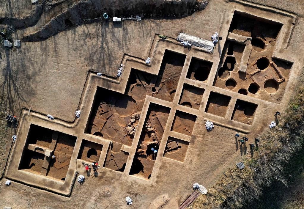
Our services provide site managers and heritage teams with a "living" digital record of project progress. We produce high-resolution, georeferenced 2D orthomosaics and 3D digital twins that allow for precise comparison between as-built conditions and original survey designs.
Using the Matrice 4 Enterprise for rapid site-wide mapping, we can perform accurate volume calculations and topographical updates in a fraction of the time required by ground-based teams. This recurring data stream minimises site risk, improves stakeholder communication, and provides an indisputable record of project milestones.