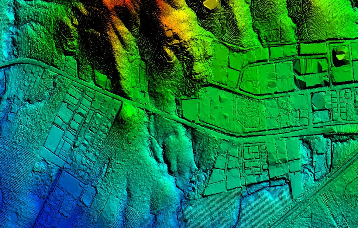
Utilising the Matrice 300 RTK paired with the Zenmuse L2 LiDAR sensor, we provide survey-grade topographic data that exceeds the limitations of traditional photogrammetry. Our LiDAR solutions are specifically designed for complex environments, offering the unique ability to penetrate dense vegetation and canopy to map the true ground surface.
We deliver centimetre-accurate point clouds and Digital Terrain Models (DTM) that are essential for archaeological landscape analysis, flood risk modelling, and early-stage land development. By integrating the Reach RS4 GNSS base station for absolute positioning, we ensure every data point is georeferenced to the highest geospatial standards required by engineering and heritage consultants.