LiDAR, photogrammetry, roof inspection and thermal surveys for archaeology, estates and solar — flown by qualified pilots, processed to engineering standard, delivered fast.
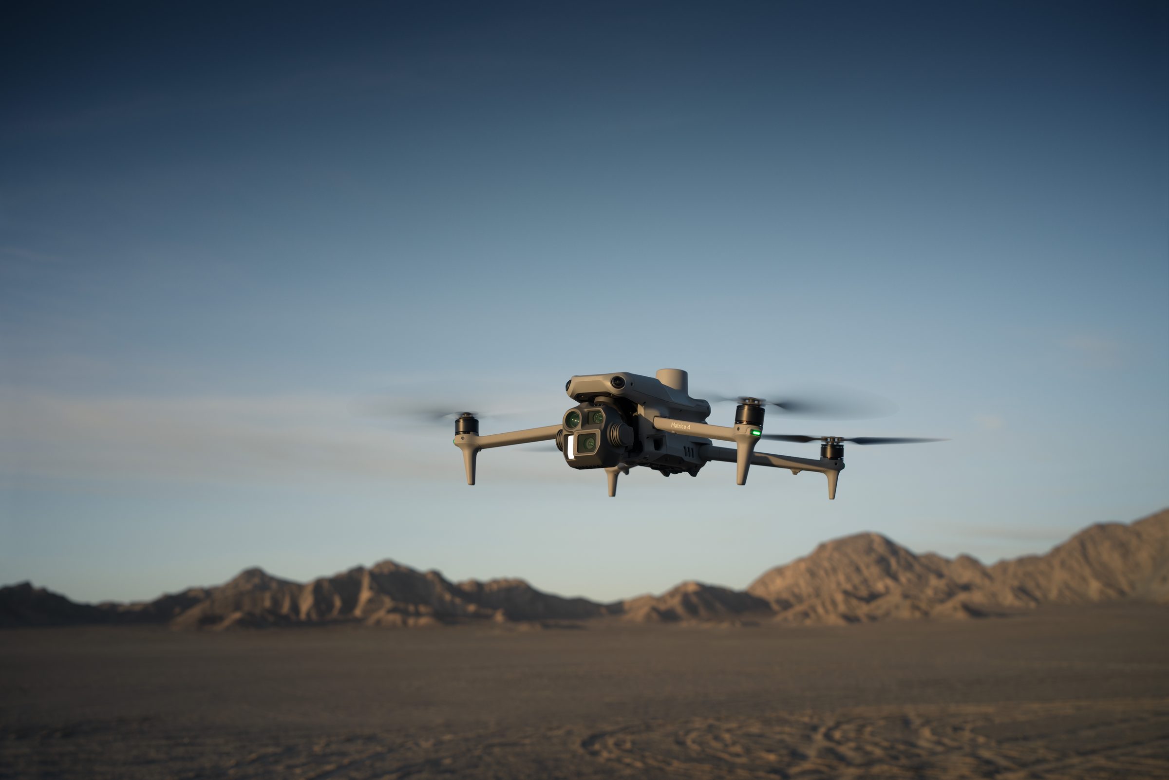
We capture and process aerial survey data for technical clients — archaeological units, estate and facilities managers, and solar operators. Every project is planned thoroughly, flown under CAA Operational Authorisation, and processed through version-controlled pipelines built on a software engineering background. The result: accurate, engineering-ready deliverables you can act on, without a second visit.
Send a brief outline of your site and what you need from it. Your enquiry is reviewed personally by the operator and answered within 24 hours.